In-flight positional and energy use dataset of package delivery quadcopter UAVs
This dataset included the energy usage for hundreds of drone flights in varying configurations and conditions.
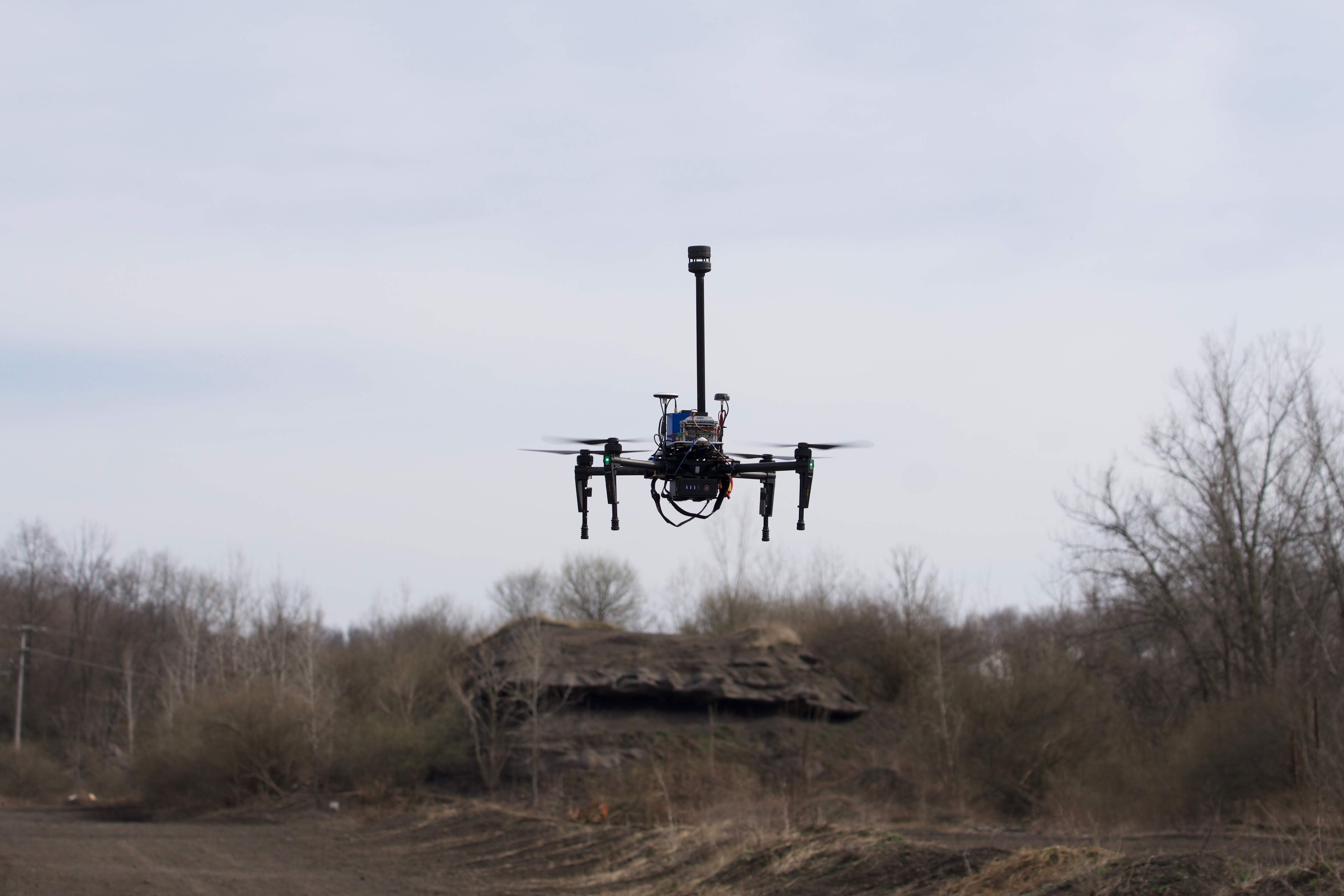
This experiment was performed in order to empirically measure the energy use of small, electric Unmanned Aerial Vehicles (UAVs). We autonomously direct a DJI ® Matrice 100 (M100) drone to take off, carry a range of payload weights on a triangular flight pattern, and land. Between flights, we varied specified parameters through a set of discrete options, payload of 0 , 250 g and 500 g; altitude during cruise of 25 m, 50 m, 75 m and 100 m; and speed during cruise of 4 m/s, 6 m/s, 8 m/s, 10 m/s and 12 m/s.
The number of flights performed varying operational parameters (payload, altitude, speed) was 195. In addition, 14 recordings were done to assess the drone’s ancillary power and hover conditions.
More information about the data collection process, conditions, and methodology can be found through the dataset link and its accompanying README file.
Download
The dataset can be accessed through this link:
https://doi.org/10.1184/R1/12683453
Contact
Thiago A. Rodrigues - tarodrig@andrew.cmu.edu
Jay Patrikar - jpatrika@andrew.cmu.edu
Acknowledgments
This work was supported by the U.S. Department of Energy’s Vehicle Technologies Office, Award Number DE-EE0008463.